Log in
All resources
Create a design
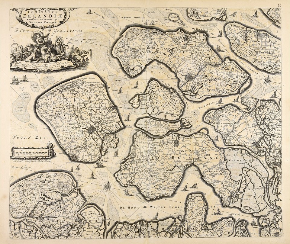
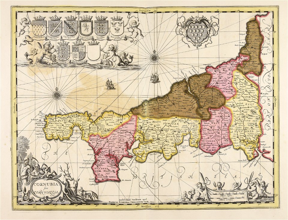
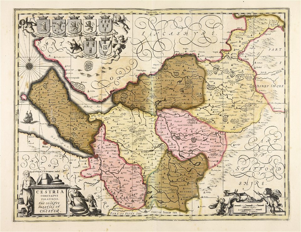
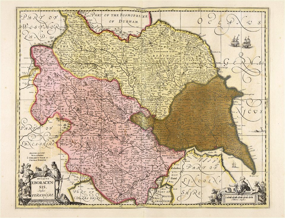
52,119 Free Images of Old Celestial Maps
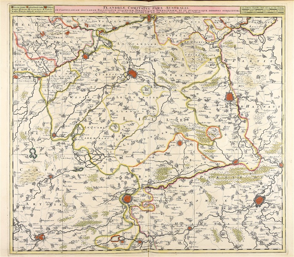
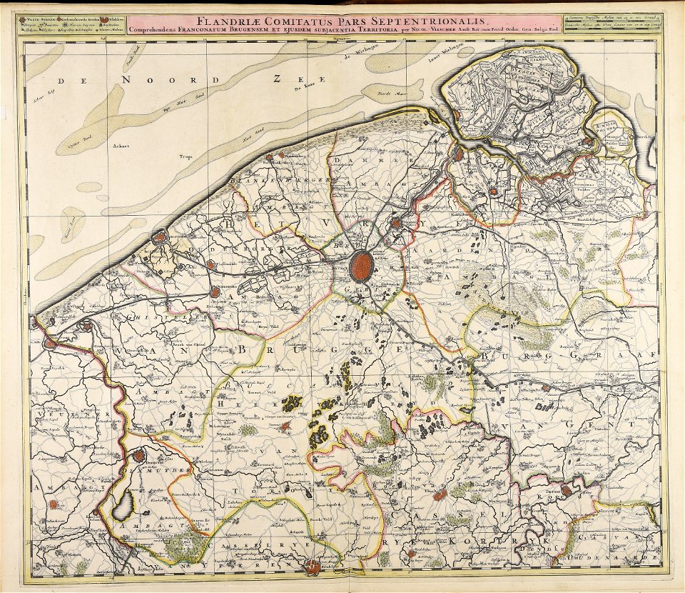
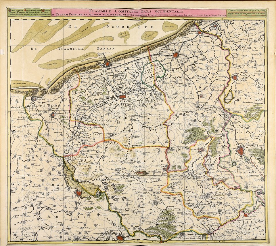
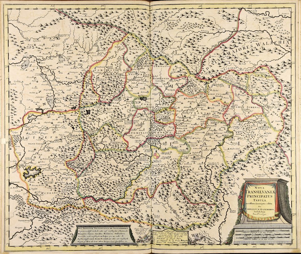
maps made in the 17th century
atlantis magni tomus secundus (biblioteca comunale di trento)
atlantis magni tomus tertius (biblioteca comunale di trento)
maps made in the 18th century
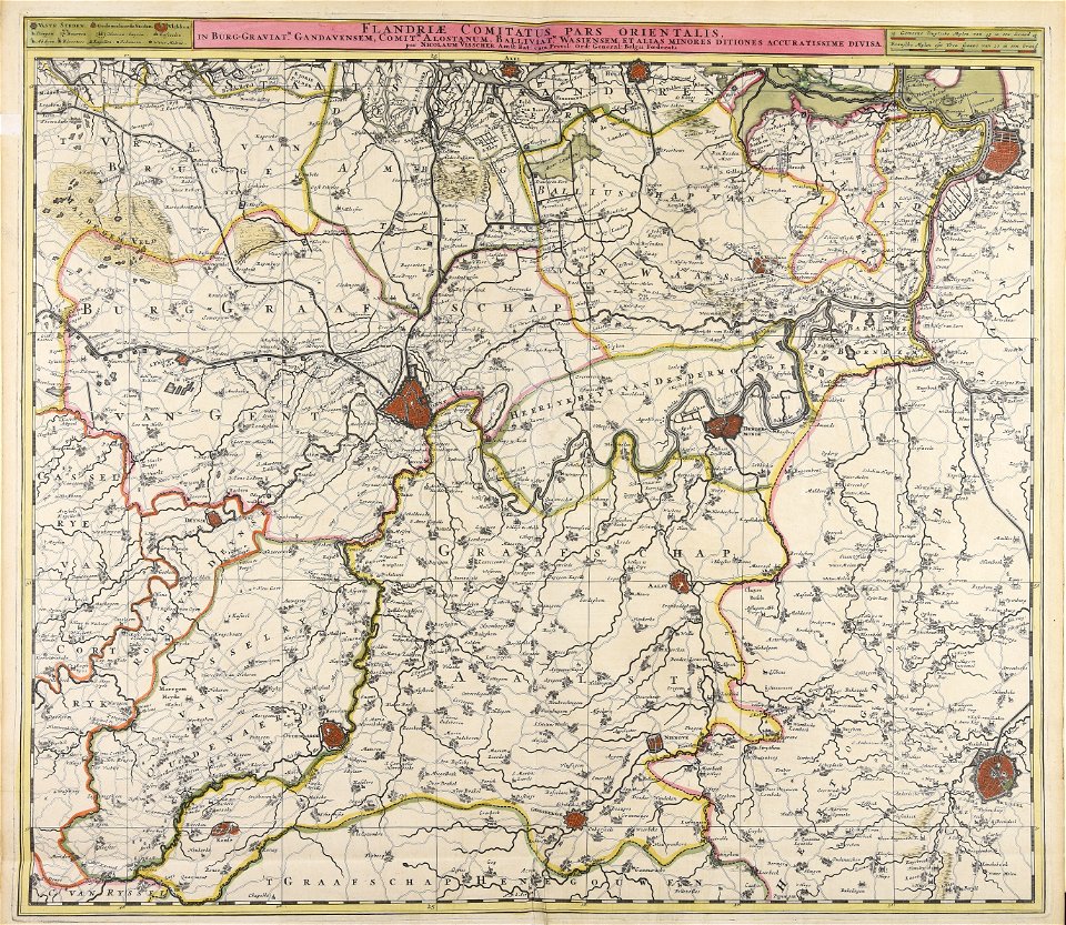
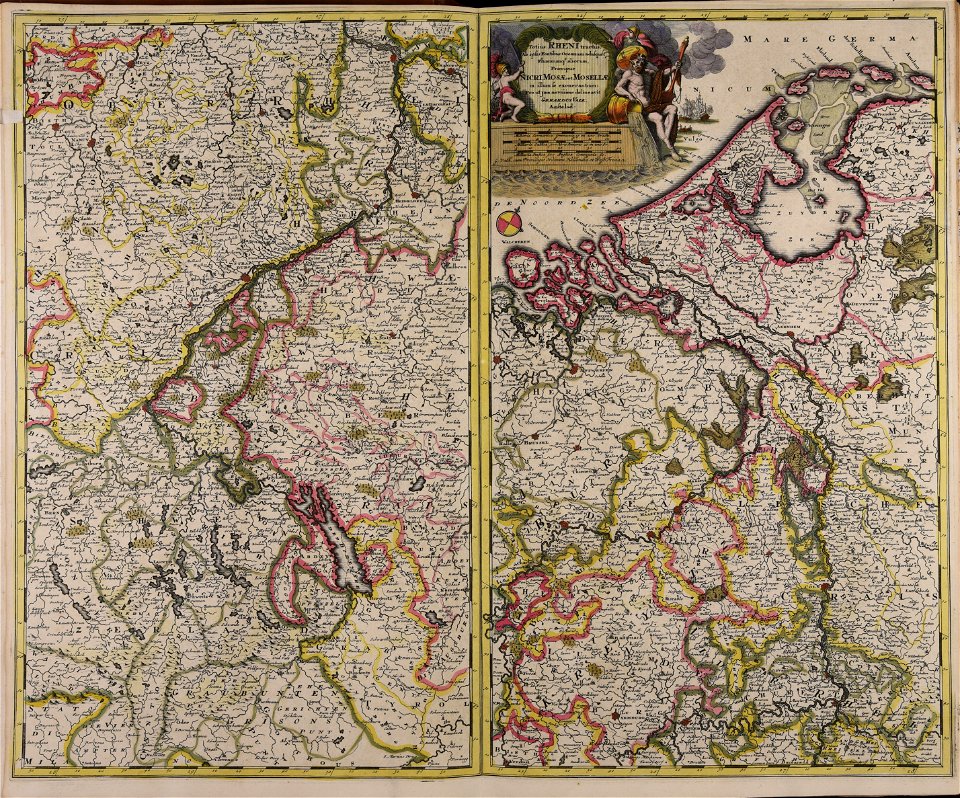
gerard valck
nicolaes visscher ii
maps by pieter schenk (i)
johann baptist homann
fonds ancely - bibliothèque municipale de toulouse - maps
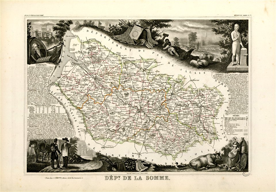
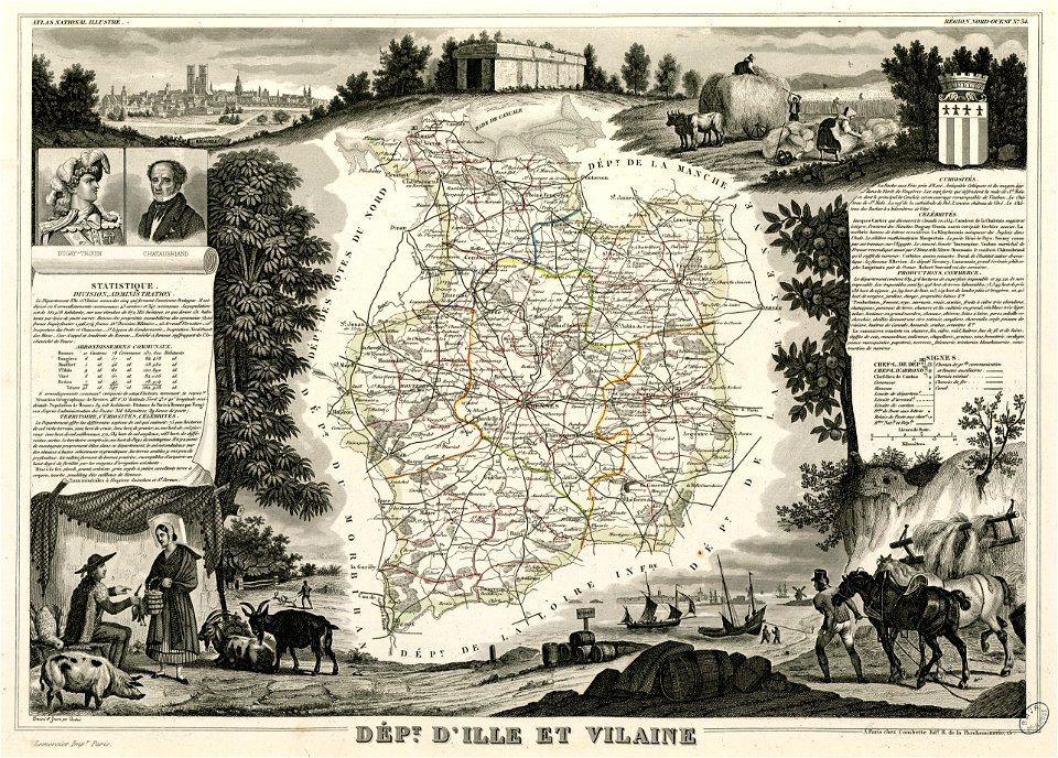
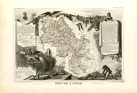
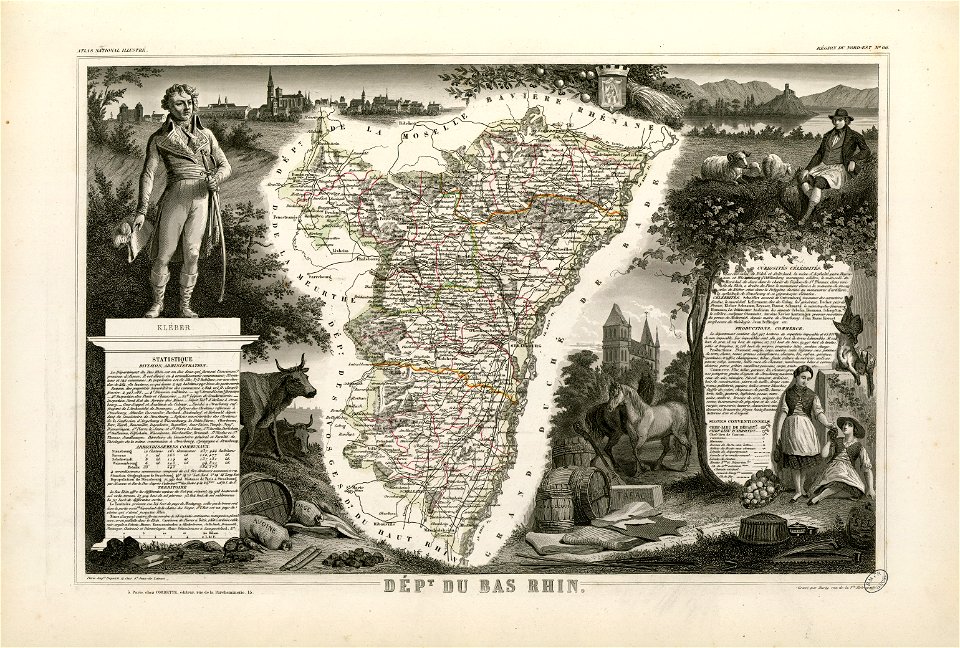
victor levasseur - maps of france
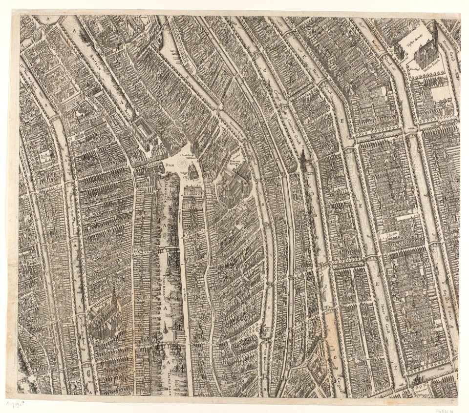
dutch 17th-century prints in the rijksmuseum amsterdam
maps in the rijksmuseum amsterdam
dutch 17th-century prints in the rijksmuseum amsterdam
maps in the rijksmuseum amsterdam
dutch 17th-century prints in the rijksmuseum amsterdam
maps in the rijksmuseum amsterdam
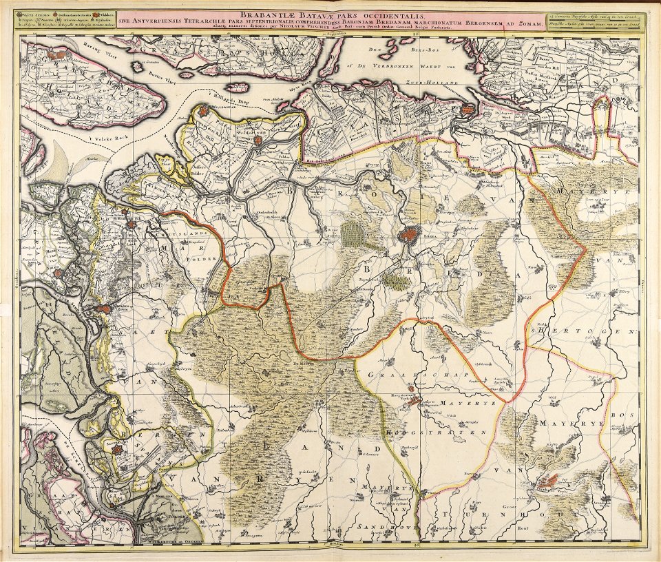
maps made in the 17th century
nicolaes visscher ii
maps made in the 17th century
nicolaes visscher ii
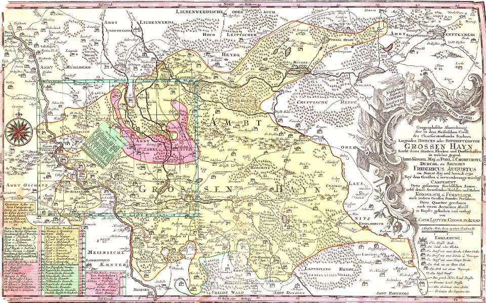
history of lorenzkirch
old maps of saxony
maps of the west-indische compagnie
1665
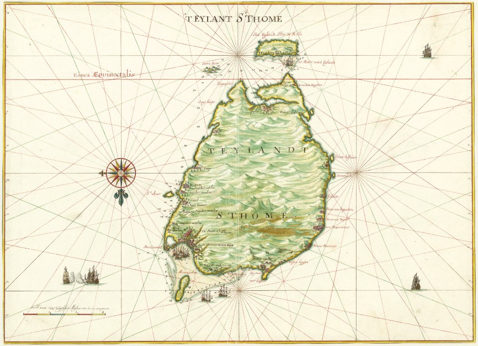
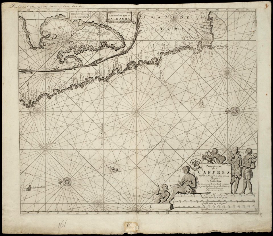
old maps of the dutch east india company - africa
johannes van keulen
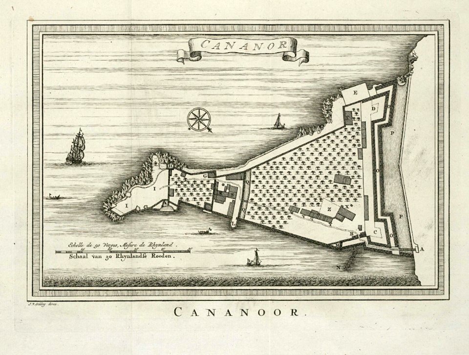
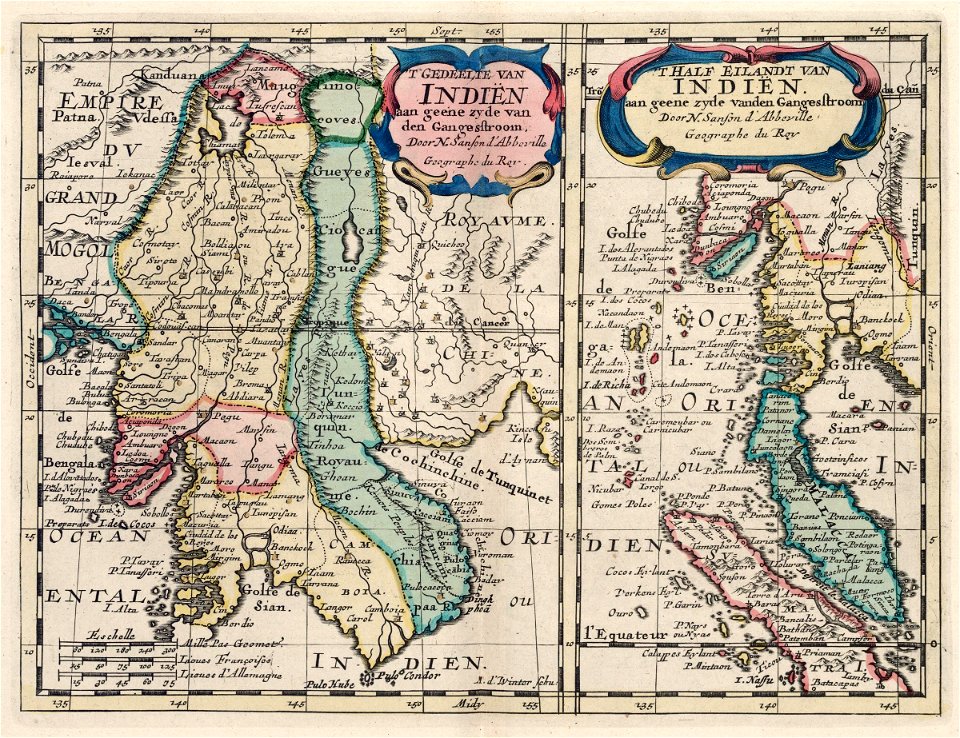
maps of the dutch east india company - india
historical images of st. angelo fort
flemish prints in the british museum
etchings by wenzel hollar
atlantis magni tomus secundus (biblioteca comunale di trento)
nicolaes visscher ii
atlantis magni tomus secundus (biblioteca comunale di trento)
maps made in the 17th century
maps made in the 17th century
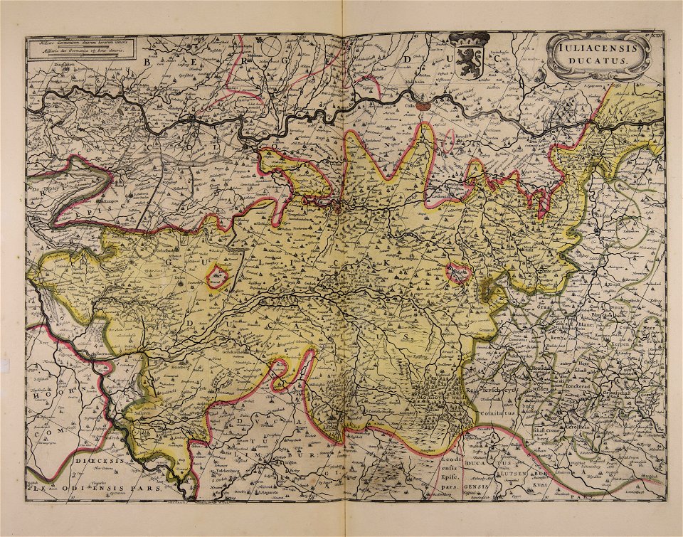
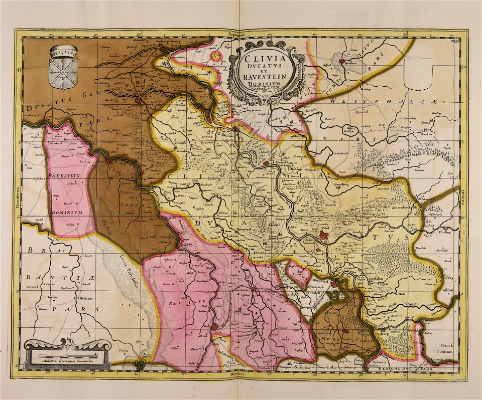
old maps of gelderland
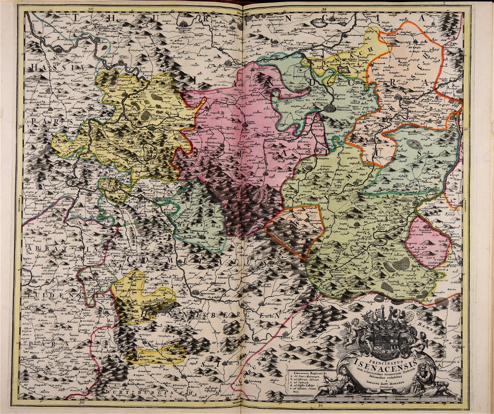
johann baptist homann
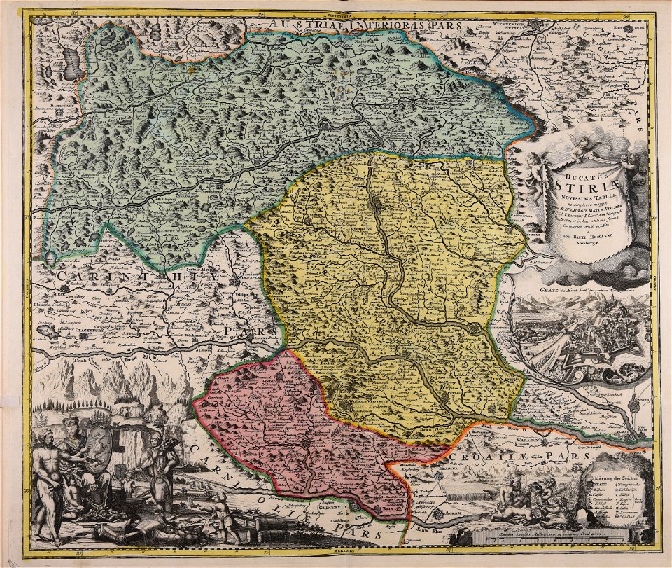
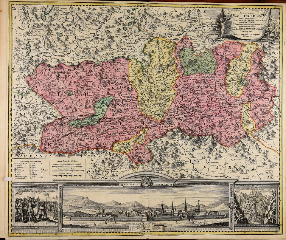
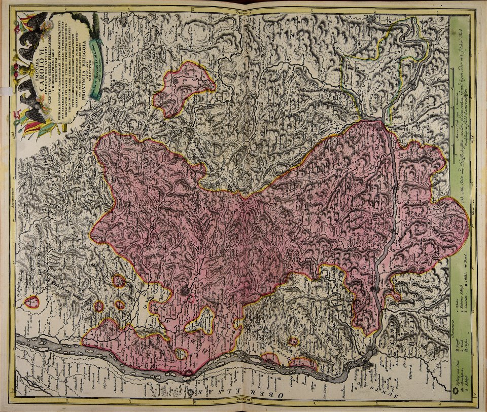
old maps of styria
maps made in the 18th century
johann baptist homann
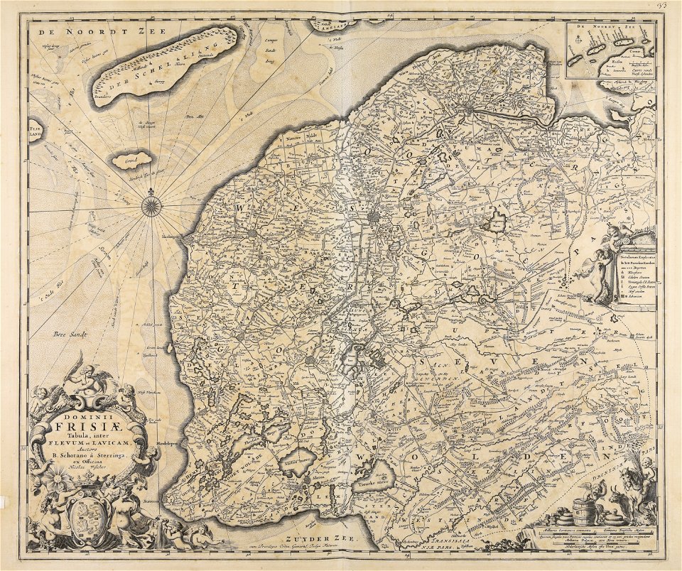
maps made in the 17th century
jan janssonius
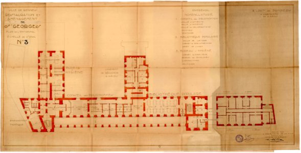
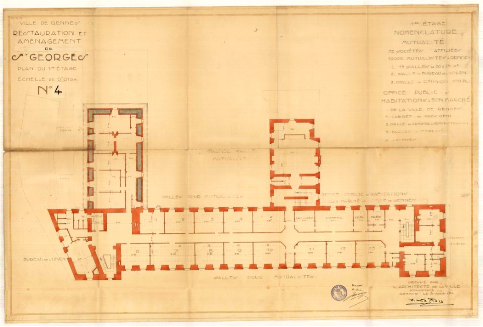
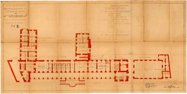
old maps of rennes
1922 maps
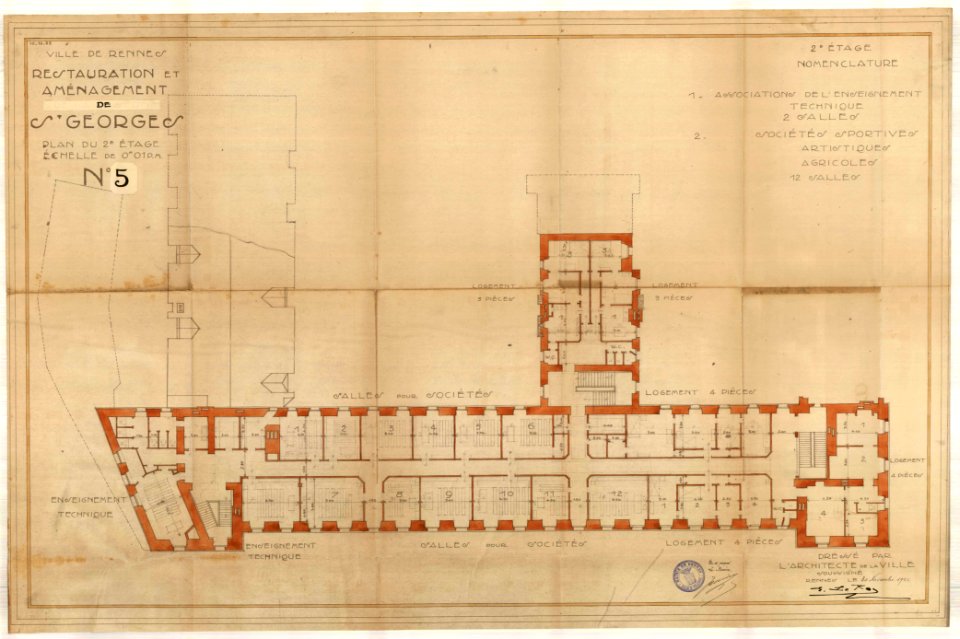
old maps of rennes
1922 maps
old maps of rennes
1922 maps
old maps of rennes
1922 maps
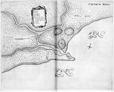
georg marggraf
elmina
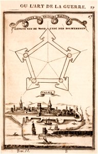
old maps of calais
pentagon
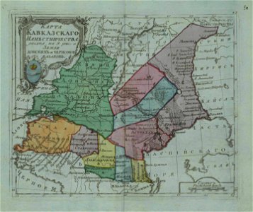
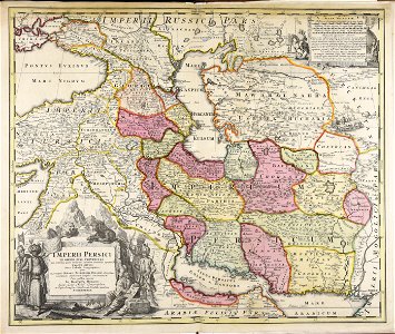
small atlas of the russian empire (1796)
old maps of viceroyalty of the caucasus
atlantis magni tomus quartus (biblioteca comunale di trento)
maps made in the 17th century
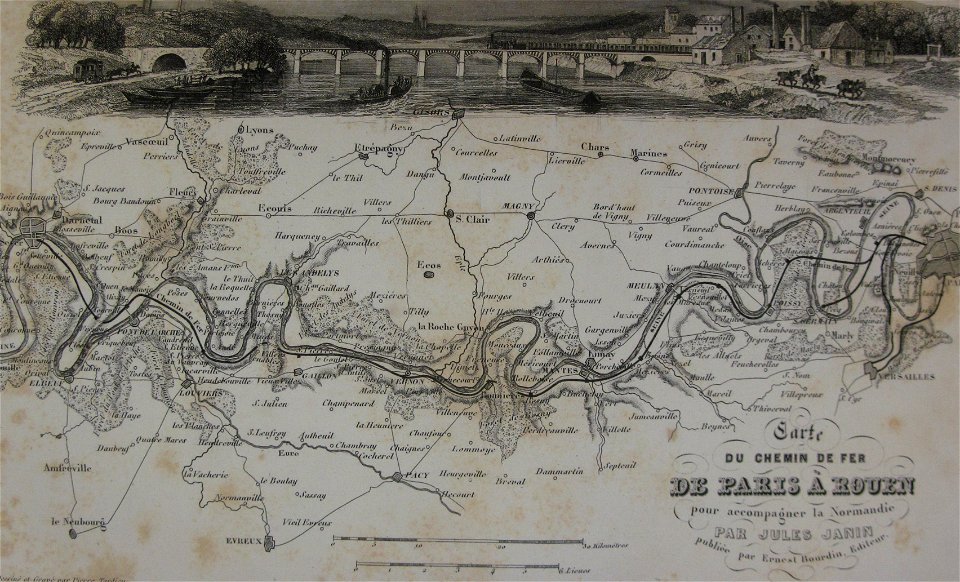
alfred johannot
bridge of arts
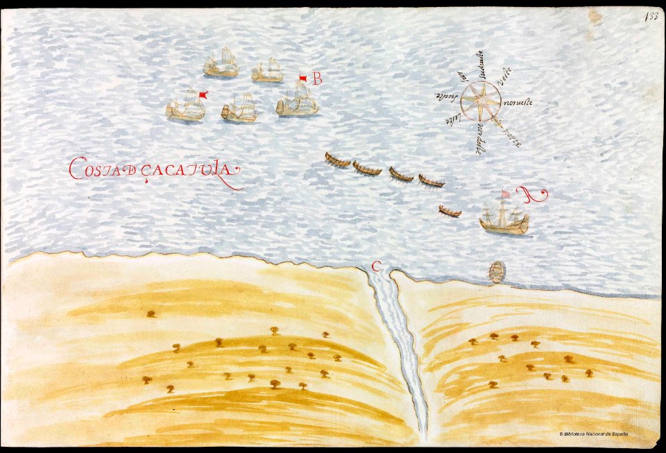
images from the john carter brown library
maps by samuel de champlain
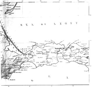
old maps of the sea of azov
1856 maps
maps made in the 17th century
nicolaes visscher ii
maps made in the 17th century
nicolaes visscher ii
maps made in the 17th century
nicolaes visscher ii
maps made in the 17th century
nicolaes visscher ii
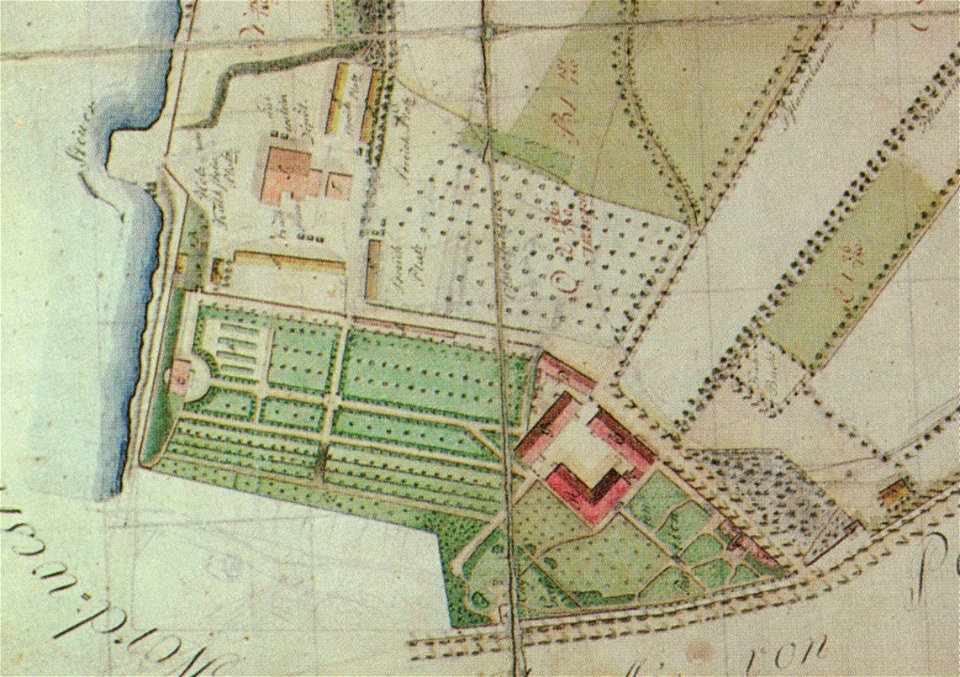
pleasureground (klein-glienicke)
parts of old maps of berlin
maps made in the 17th century
nicolaes visscher ii
maps made in the 17th century
nicolaes visscher ii
maps made in the 17th century
nicolaes visscher ii
maps made in the 18th century
johann baptist homann
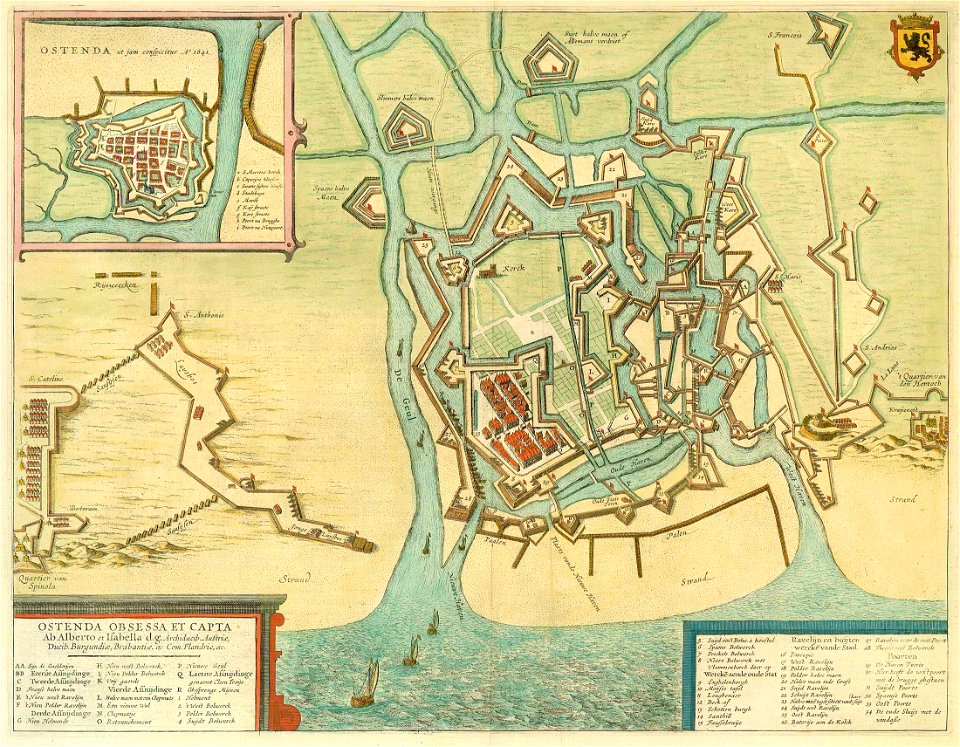
maps by willem and johannes blaeu
1649
maps made in the 18th century
johann baptist homann
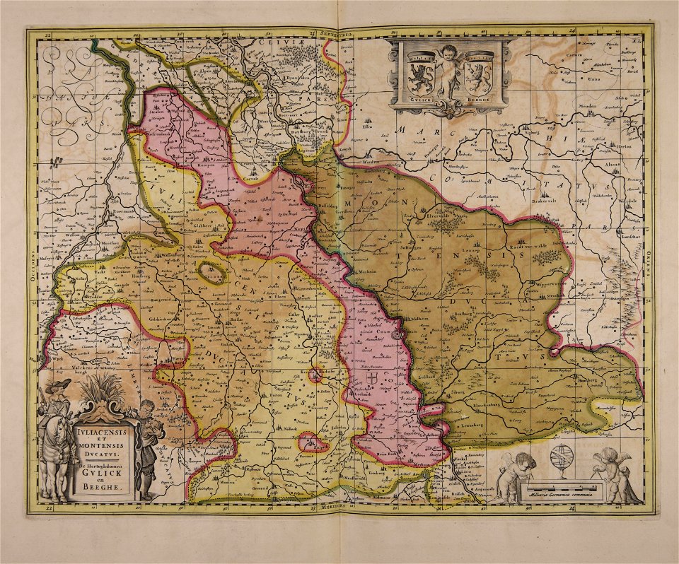
maps made in the 17th century
old maps of gelderland
fonds ancely - bibliothèque municipale de toulouse - maps
françois arago
maps made in the 18th century
johann baptist homann
maps made in the 18th century
gerard van keulen
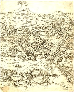
maps made in the 16th century
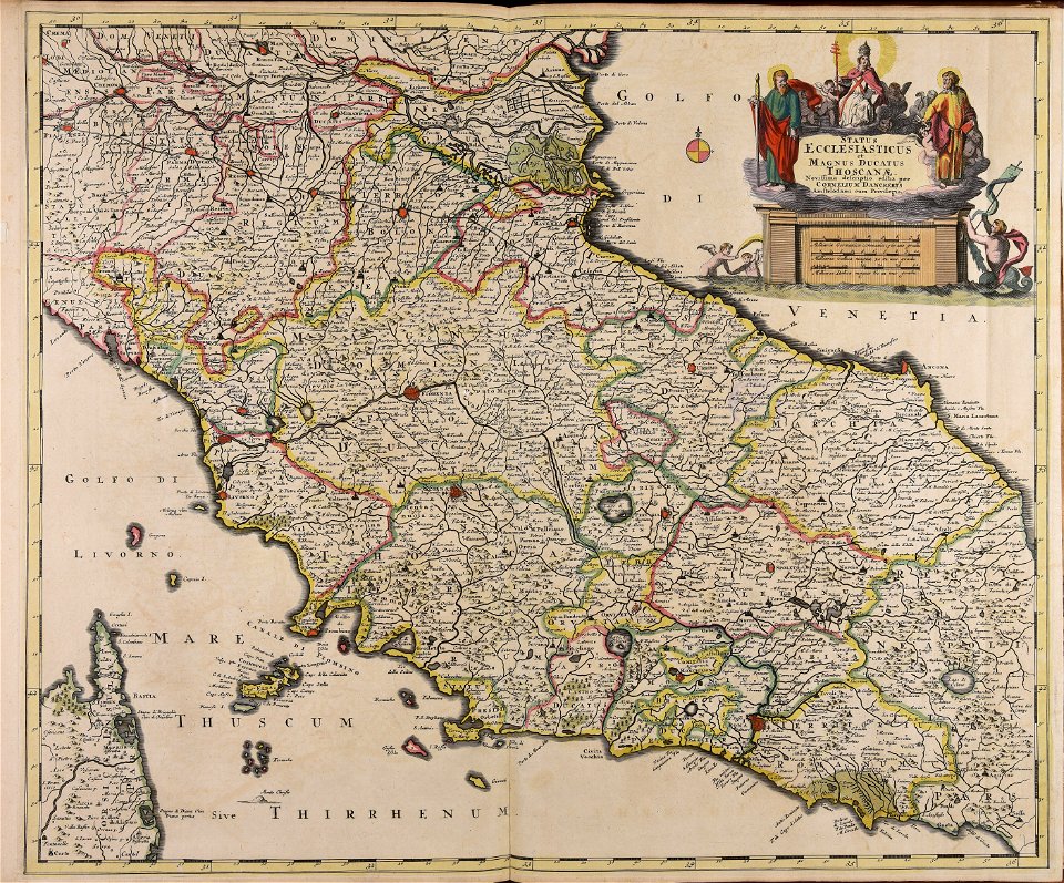
old maps of lazio
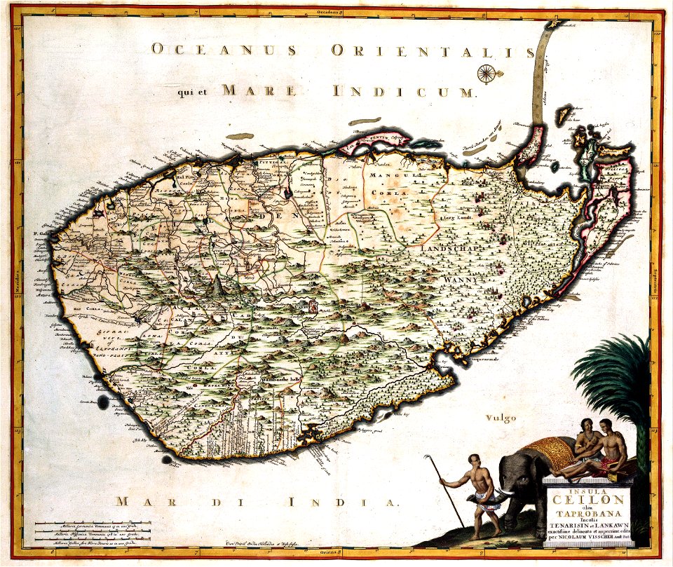
maps made in the 17th century
jan janssonius
old maps of sri lanka
koral
engravings after peter paul rubens
harvard university
maps made in the 18th century
johann baptist homann
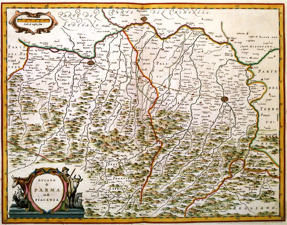
maps made in the 16th century
old maps of lombardy
atlantis magni tomus tertius (biblioteca comunale di trento)
maps made in the 17th century
maps made in the 18th century
johann baptist homann
maps made in the 18th century
johann baptist homann
maps made in the 18th century
johann baptist homann
old maps of the world
1880 maps
maps made in the 18th century
johann baptist homann
old maps of nuremberg
johann baptist homann
atlantis magni tomus quintus (biblioteca comunale di trento)
maps made in the 17th century
maps made in the 18th century
gerard valck
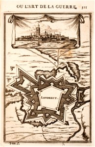
old maps of landrecies
pentagon
maps made in the 17th century
jan janssonius
maps made in the 17th century
jan janssonius
maps made in the 17th century
old maps of italy
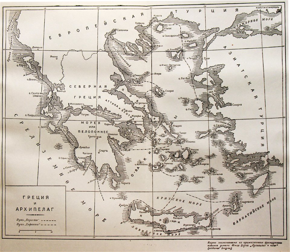
russian-language maps
old maps of greece
old maps of the sea of azov
1856 maps
maps made in the 18th century
gerard valck
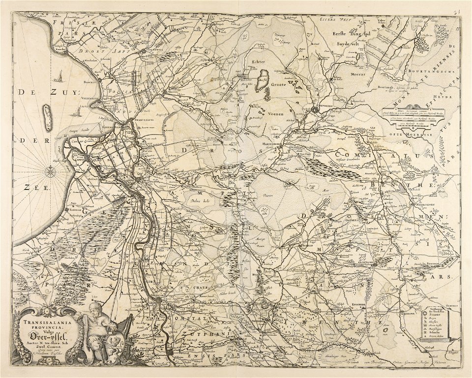
maps made in the 17th century
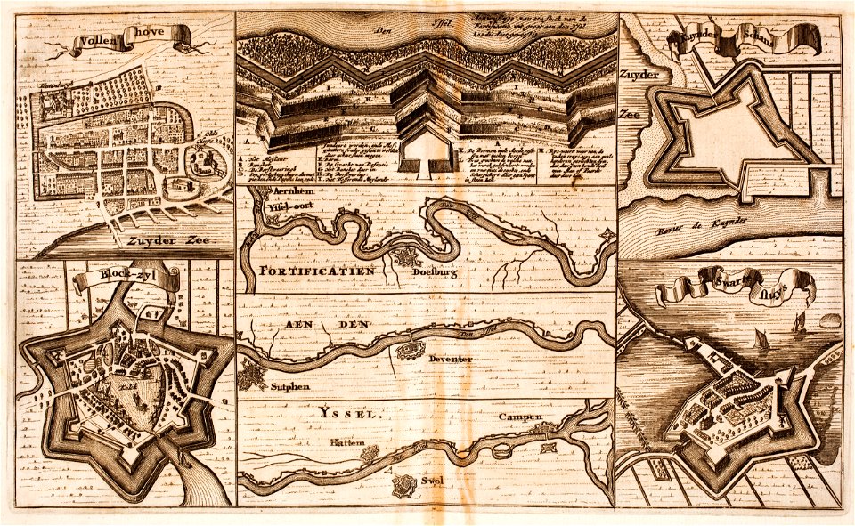
old maps of overijssel
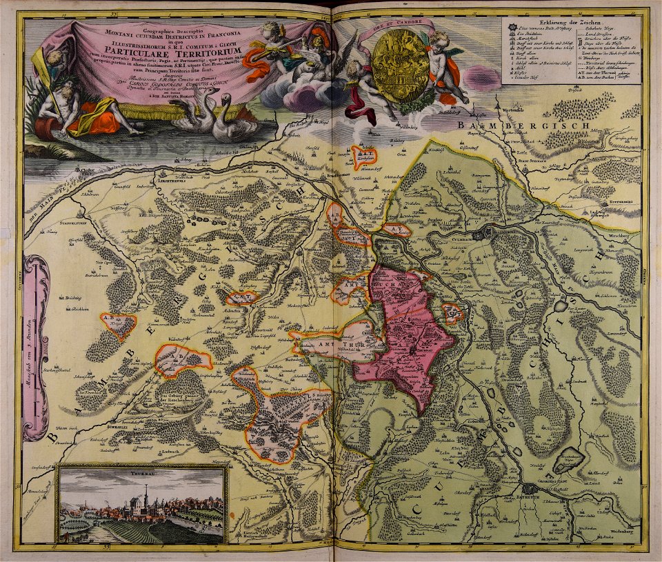
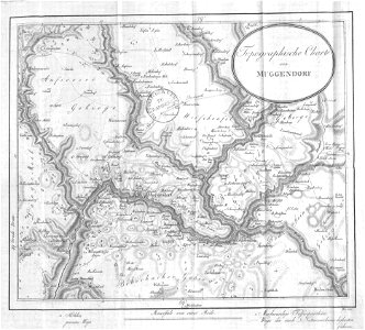
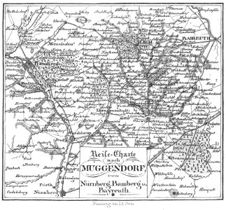
collections of staatsbibliothek bamberg
franconian switzerland
collections of staatsbibliothek bamberg
franconian switzerland
atlantis magni tomus tertius (biblioteca comunale di trento)
maps made in the 17th century
19th-century maps of the caucasus
old maps of the russian empire
fortifications in the netherlands
zwartsluis
old maps of mexico
pictorial maps
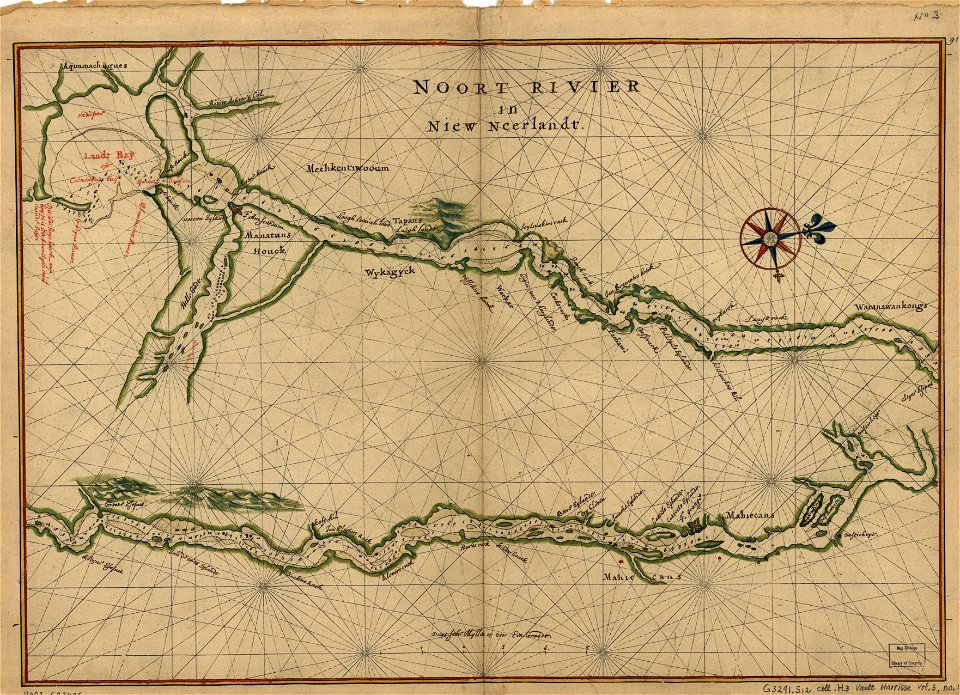
maps in the library of congress
maps of the hudson
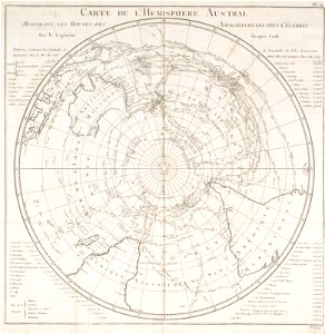
old maps of earth's hemispheres
french-language maps
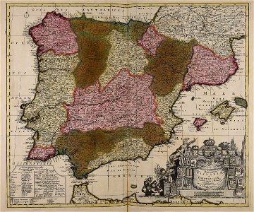
old maps of the iberian peninsula
1700s maps of portugal
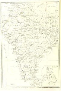
maps from the mechanical curator collection
old maps of nepal
maps made in the 18th century
johann baptist homann
maps made in the 17th century
gerard valck
maps made in the 17th century
gerard valck
maps made in the 17th century
gerard valck
maps made in the 17th century
gerard valck
maps made in the 17th century
gerard valck
gerard valck
germany
maps made in the 17th century
gerard valck
maps in musée de la compagnie des indes
17th-century engravings
maps with cartouches
atlas van der hagen
maps made in the 17th century
gerard valck
maps of the dutch east india company - indonesia
1705
maps made in the 17th century
gerard valck
maps made in the 17th century
gerard valck
maps made in the 17th century
gerard valck
maps made in the 17th century
gerard valck
fonds ancely - bibliothèque municipale de toulouse - maps
maximilien sébastien foy
fonds ancely - bibliothèque municipale de toulouse - maps
coats of arms of rennes
fonds ancely - bibliothèque municipale de toulouse - maps
coats of arms of le mans
fonds ancely - bibliothèque municipale de toulouse - maps
pierre-jean david
fonds ancely - bibliothèque municipale de toulouse - maps
frédéric-auguste laguillermie
coats of arms of bordeaux
carle vernet
fonds ancely - bibliothèque municipale de toulouse - maps
frédéric-auguste laguillermie
coats of arms of strasbourg (i)
jean-baptiste kléber
maps made in the 17th century
gerard valck
3701 - 3800 of 52,119
Next page
/ 522